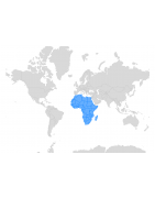
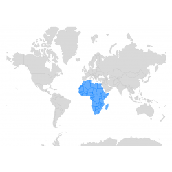
Africa
Discover a Comprehensive Collection of Maps and Base Layers Covering the African Continent
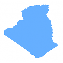
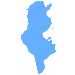
Our database includes detailed administrative boundaries, regional divisions, urban areas, transport networks, and natural features, available in multiple formats such as JSON, KML, SHP, SVG, and CSV.
Designed for GIS professionals, researchers, and businesses, these maps provide accurate geographic data for spatial analysis, urban planning, market research, and environmental studies. With our customizable base layers, you can easily integrate these maps into your geospatial projects, business intelligence platforms, and applications based on location data or data visualization.
Our Africa map collection is regularly updated with new maps, countries, and areas. Sign up for our newsletter to stay informed about our latest additions.